Our Only National Park That Changes It’s Shape
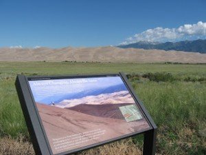
Thank you for reading this post, don't forget to subscribe!The Great San Dunes National Park and Preserve is one of the only National Parks in the U.S. that is constantly changing. This of course is the nature of sand dunes everywhere. This very unique national park has the ability to change it’s shape daily. The park is located in a windy region of Colorado alongside the Sangre de Cristo Range. This national park also contains the tallest sand dunes found in North America.

These impressive sand dunes were formed from sand and soil deposits of the Rio Grande and it’s tributaries. Over thousands of years the prevailing westerly winds picked up sand particles from the river flood plain. The wind naturally lost power when trying to cross the high Sangre de Cristo Mountains and as a result deposited sand on the east side of the range.
The wind continues and so does the process that has been going on for some 440,000 years according to geologists. The dunes not only change shape on a fairly daily basis but they are also growing. This is one of the attributes of the Great Sand Dunes that make a visit there so unique.
The Area of the Great Sand Dunes
What we do know about the Great Sand Dunes in Colorado is that they were first noticed by the Native Americans in the area. The names and languages of these earliest natives are not known, more recent American Indian tribes were quite familiar with the area when the Spaniards first arrived over 400 years ago.

As an example, the traditional Ute Indian word for the Great Sand Dunes is Sowapophe-uvehe, “the land that moves back and forth“. Jicarilla Apaches who settled in northern New Mexico called the Dunes Sei-anyedi, meaning, “it goes up and down.”
The Navajo consider Blanca Peak which is just southeast of the Dunes one of their four sacred mountains.
The Great Sand Dunes National Monument was created in the 1930’s during the Great Depression. This was a time when several parks were created and others upgraded with trails and additional shelter buildings.
Many other National Parks and Monuments were created during that period. When the park was originally created it only covered the dunes themselves. What is important to the dunes however is the surrounding area. For the dunes to survive, care must be taken to protect the surrounding watershed and for this reason the park was expanded to include the adjacent area and mountains.

The Great San Dunes Monument and the Preserve
By the year 2004 the park also included a preserve. The preserve was then joined with the Great Sand Dunes Monument and was then the combined area was named a full-fledged National Park in September 2004.
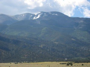
This geologic wonderland contains about 39 square miles of massive sand dunes, some 750 feet high. The Great Sand Dunes National Park also includes alpine lakes and tundra, six mountain peaks in the Sangre de Cristo Mountain Range over 13,000′ in elevation as seen in the photo above right. Among the trees you will see are spruce pine aspen and cottonwoods.
Also on Trips Into History see Reasons You’ll Enjoy a Rocky Mountain Vacation and The Mysterious Vortexes of Sedona Arizona
See articles on our Western Trips site on the links below…
Where the Southwest Meets the Rockies
Hiking the Great Sand Dunes
There are no roads or official trails into the sand dunes themselves simply because of the soft, ever-shifting sand. Although there are no marked trails you are allowed to walk anywhere and one popular target is the top of the tallest dune which is only half a mile from the edge.
Walking to the tallest dune will likely take one hour since walking through the sand can be quite a slow process. The hiker will find it easier to walk along sand ridges, rather than straight up the side of the dunes. Be advised that the sand can become quite hot, sometimes up to 140 F, making it much too hot for walking on your bare feet. It is also advisable to carry plenty of water and watch out for lightning during the summer.

The national park maintains three forested hiking trails located east of the dunes along the wooded hills. Some of the trails will take you to high vistas and high country lakes. The wooded trails include Montville Nature Trail, Mosca Pass Trail and San Ramp Trail.
Inquire at the park Visitor Center for free backcountry permits required for overnight backpacking. Designated backcountry sites in the national park are located along the Sand Ramp Trail, in the transition area between the dunefield and the mountains. This is a more sheltered area of the park.
Driving to The Great Sand Dunes National Park
If you’re traveling from the Denver area, Colorado Springs, or Pueblo, the best route is south on Interstate-25 to Walsenburg, then west on US 160 and then north on State Highway 150. If you’re looking for a more mountainous trip from Denver you can travel U.S. Hwy 285 south, then on State Highway 17 south, then County Lane 6 east from Mosca.
Many people also drive up from Santa Fe and Taos New Mexico. From Santa Fe drive north on US 285 to Alamosa Colorado. From Alamosa, you can take either U.S. Highway 160 east and State Highway 150 north, or State Highway 17 north and County Lane 6 east from Mosca. Mileages are about 240 from the Denver area and 185 from Santa Fe.
(Article copyright 2014 Trips Into History)
